

 HOME

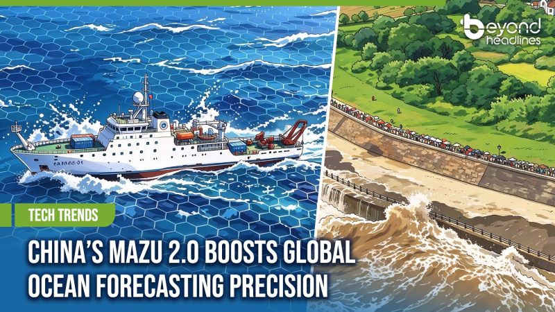


China has unveiled version 2.0 of its homegrown marine forecast model Mazu, enhancing its ability to deliver high-resolution forecasts across key maritime areas worldwide.
Released on November 1, the upgraded model doubles the resolution of its global forecasting system to five kilometres, while offering even finer one-kilometre resolution in key areas, including China's coastal waters and the Western Pacific. This allows it to better capture complex seabed terrain and ocean conditions.
Developed by the National Marine Environmental Forecasting Center under the Ministry of Natural Resources, Mazu 2.0 also features a more flexible grid system, allowing it to better model complex coastlines and seabed terrain. It retains its advantages in GPU acceleration and energy efficiency, and has successfully completed shipboard tests aboard the Xuelong 2 research vessel.
Now ranking among the world's most advanced marine forecast systems, Mazu is also supporting international cooperation, with its technology shared with Pacific island countries as well as Bangladesh and Indonesia.